Masonville Cove Connector

About the Masonville Cove Connector
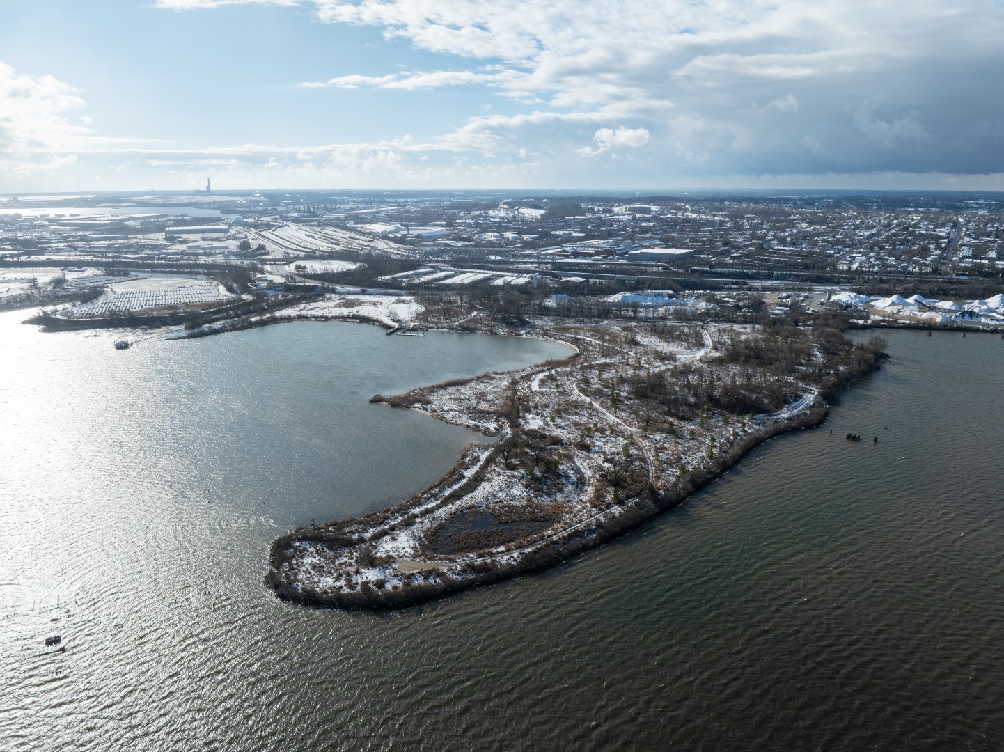
Masonville Cove is an educational and recreational community treasure in South Baltimore, but it can be hard to get to. The new Connector, a shared use path currently in development, will provide access to the waterfront for the communities near Masonville Cove. Once complete, the Masonville Cove Connector will fulfill a long-standing commitment of the Maryland Port Administration’s Dredged Material Management Program.
For more information, contact Joe Ross, MDOT MPA
Project Mission
Creating Safe and Equitable Access to the First Urban Wildlife Partnership in the United States
Where will the Connector be?
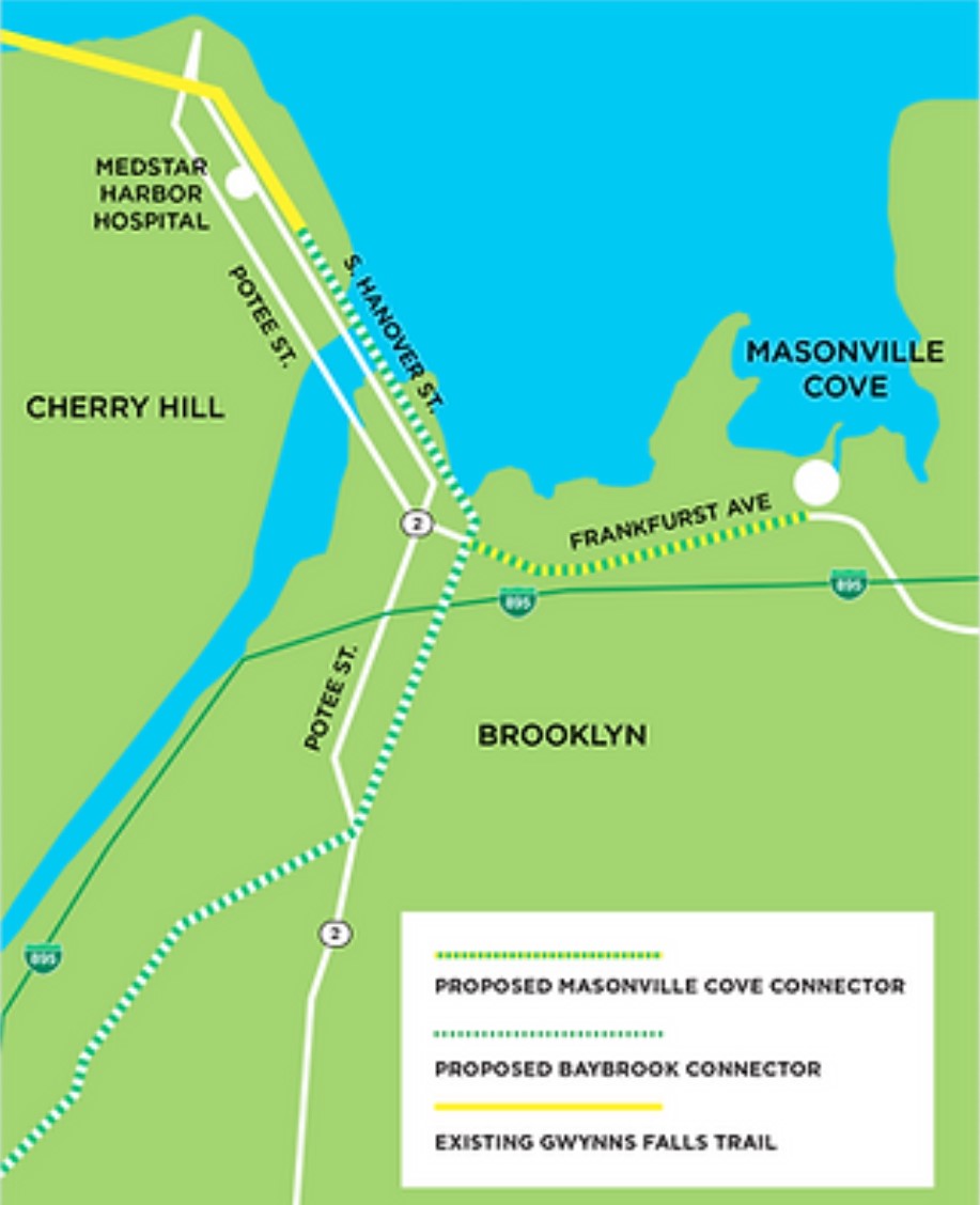
The Connector will join Masonville Cove to the Gwynns Falls Trail and the proposed BayBrook Connector for over 20 miles of trails providing walking and biking connectivity.

Who Benefits from the Connector?
Just about everyone in the community, including:
- Walkers & joggers
- Bicyclists
- Scooters
- Wheelchair users
- Families with strollers
Why Build the Connector to Masonville Cove?
- Establish safe, convenient, and equitable access
- Connect local communities to a unique recreational asset
- Integrate Masonville Cove into the larger outdoor recreational landscape in Baltimore
Concepts and Design Considerations
To learn more about the project background and need for the Connector, visit Maryland Port administration’s Masonville webpage.
Thank you for your interest in the Masonville Cove Connector!